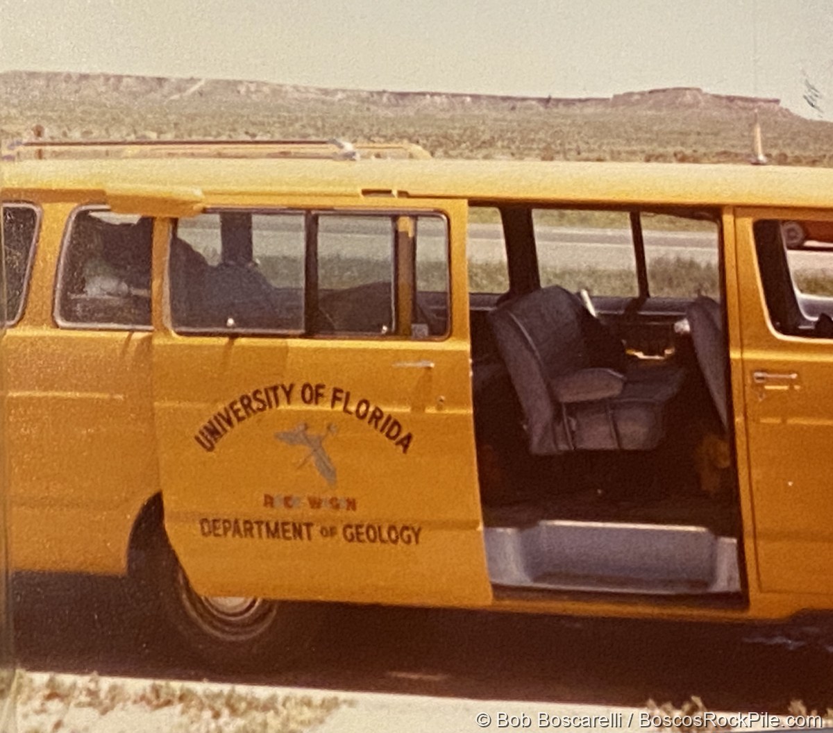
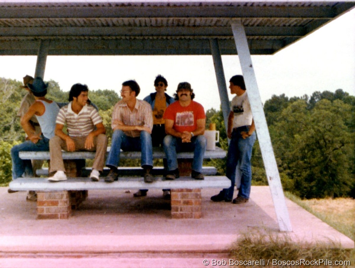
In the summer of 1979, as a geology student at the University of Florida, Bosco spent two months on the GLY 4790 summer field camp crossing the country in the Department of Geology’s field van — the capstone “field camp” where classroom geology becomes rock you can put your hand on. It ran 58 days, June 23 to August 18, 1979, out from Gainesville to the Colorado Plateau and the Great Basin and all the way back. He kept a field notebook the whole way; the excerpts below are drawn from its pages.
The route
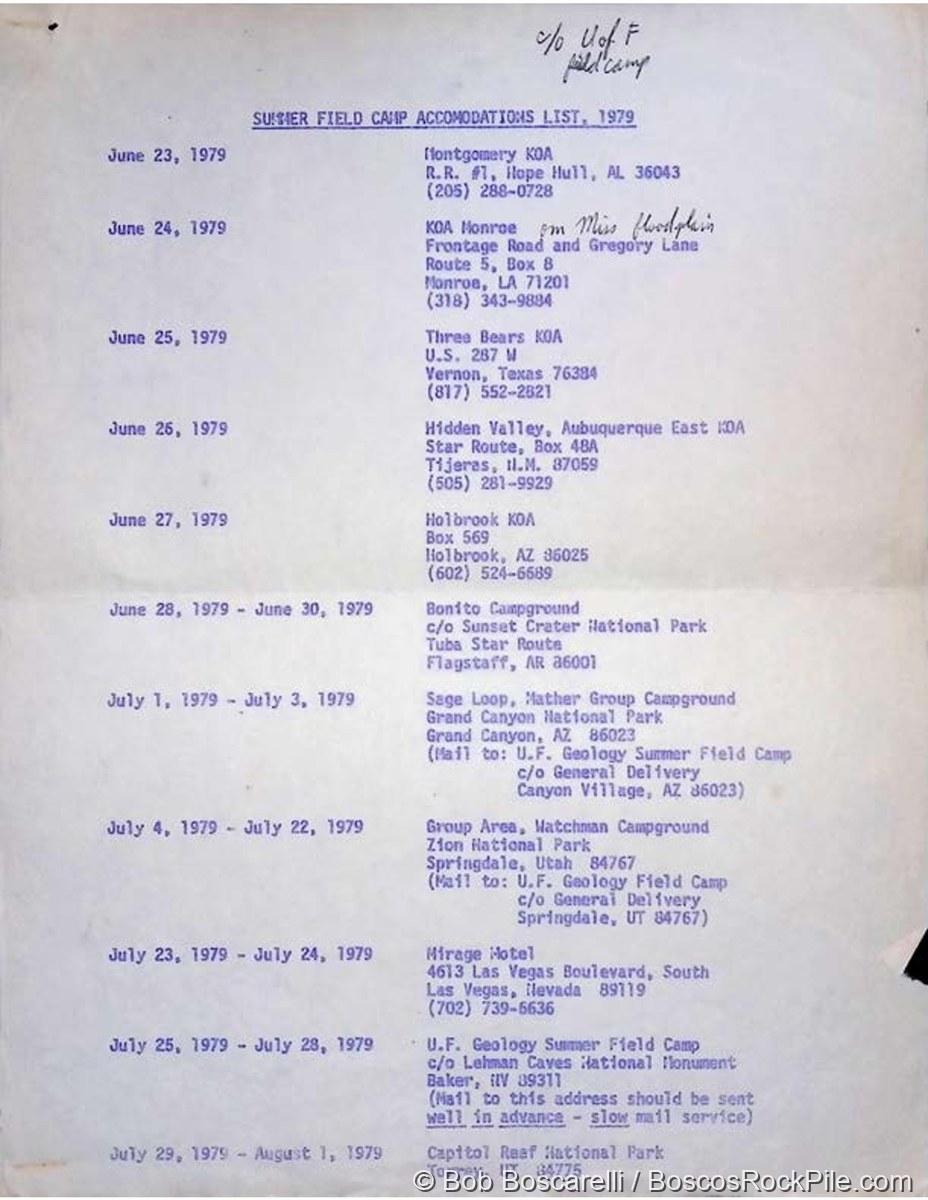
From the Cretaceous Demopolis Chalk of Alabama on June 23, the van rolled west — across Louisiana and Texas, up onto the Ogallala caprock of the High Plains, then onto the great staircase of the Colorado Plateau. After nearly three weeks mapping at Zion and a leg into Nevada’s Great Basin, the camp worked its way home through Utah and Colorado, pulling back into Gainesville on August 18. A few stops along the way, in Bosco’s own words and photographs.
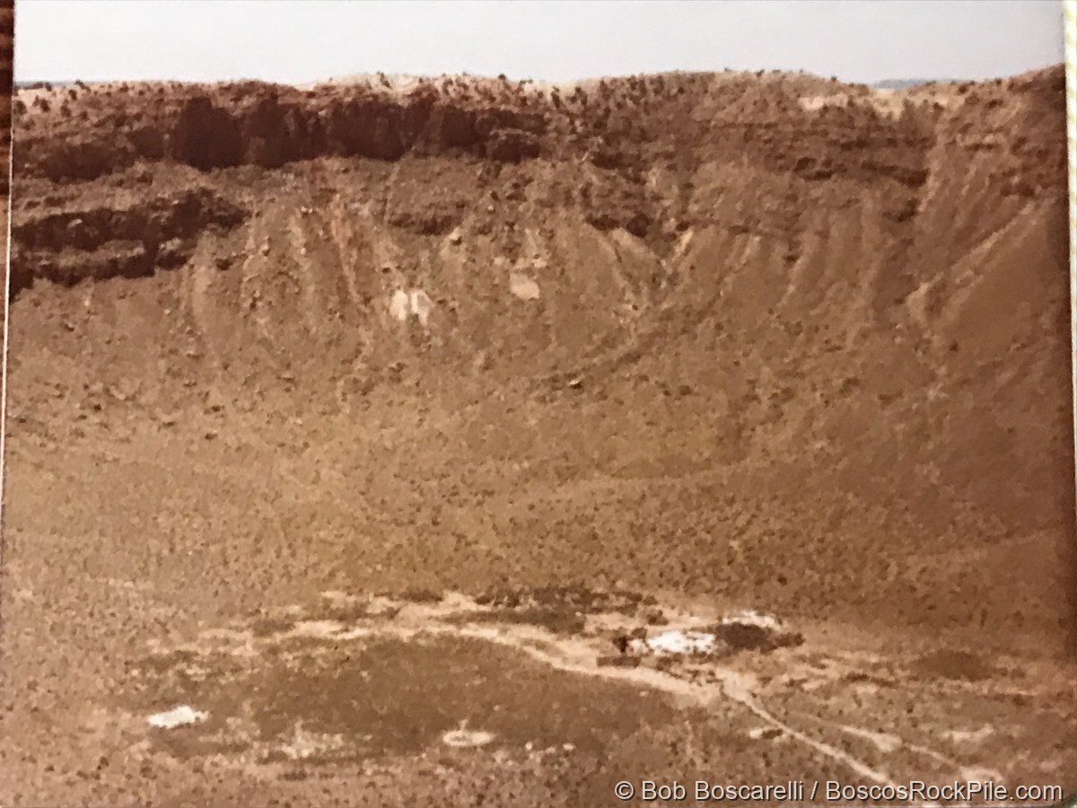
Meteor Crater, Arizona
“Meteor Crater — bowl shape; 600′ deep, ¾ mi diameter; 100–200′ rim above the plains… debris: unsorted angular blocks, 100′ across down to a few inches, due to shattering. 1902 — Barringer: meteoric origin.”
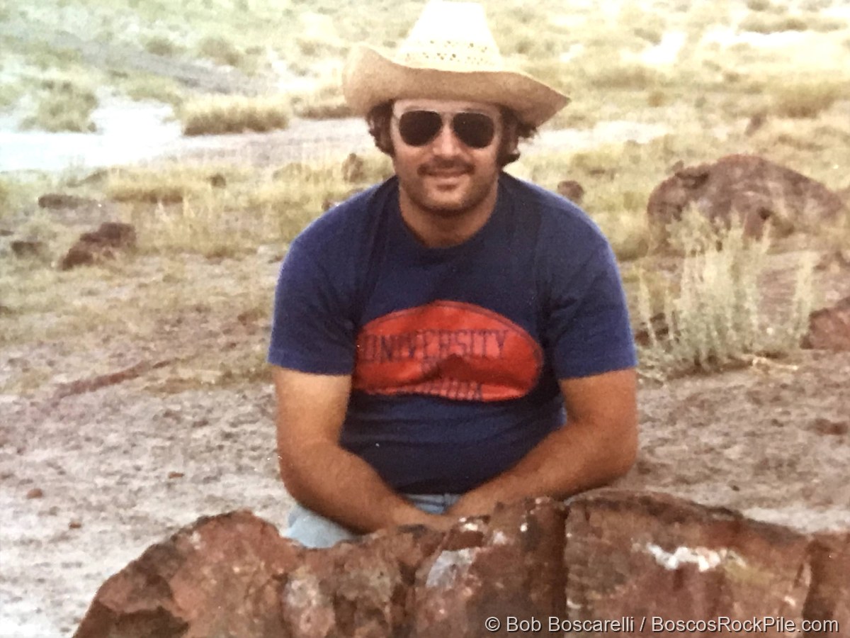
Painted Desert & Petrified Forest
“6:05 P MST — Painted Desert. Unit: Chinle — upper Triassic mudstone, shale, sandstone. Petrified Forest member… sunset.”
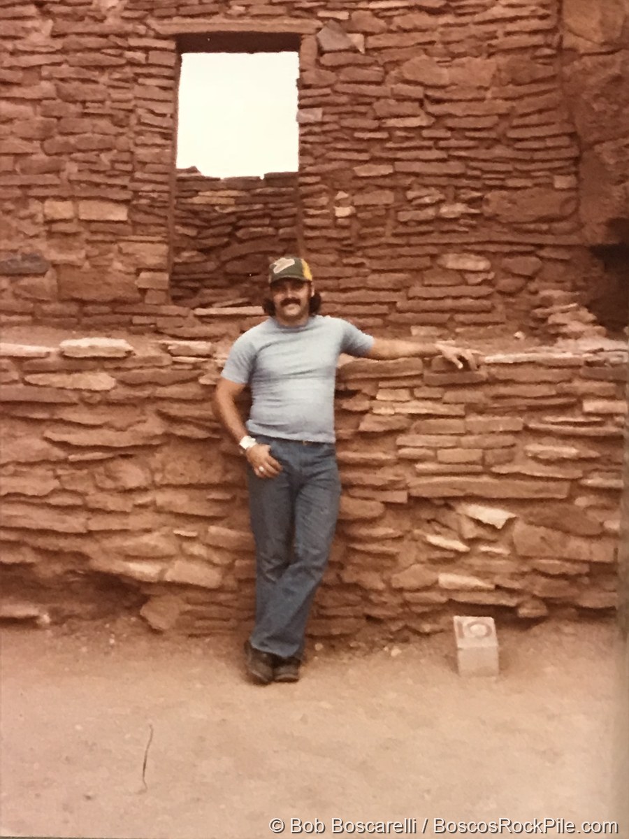
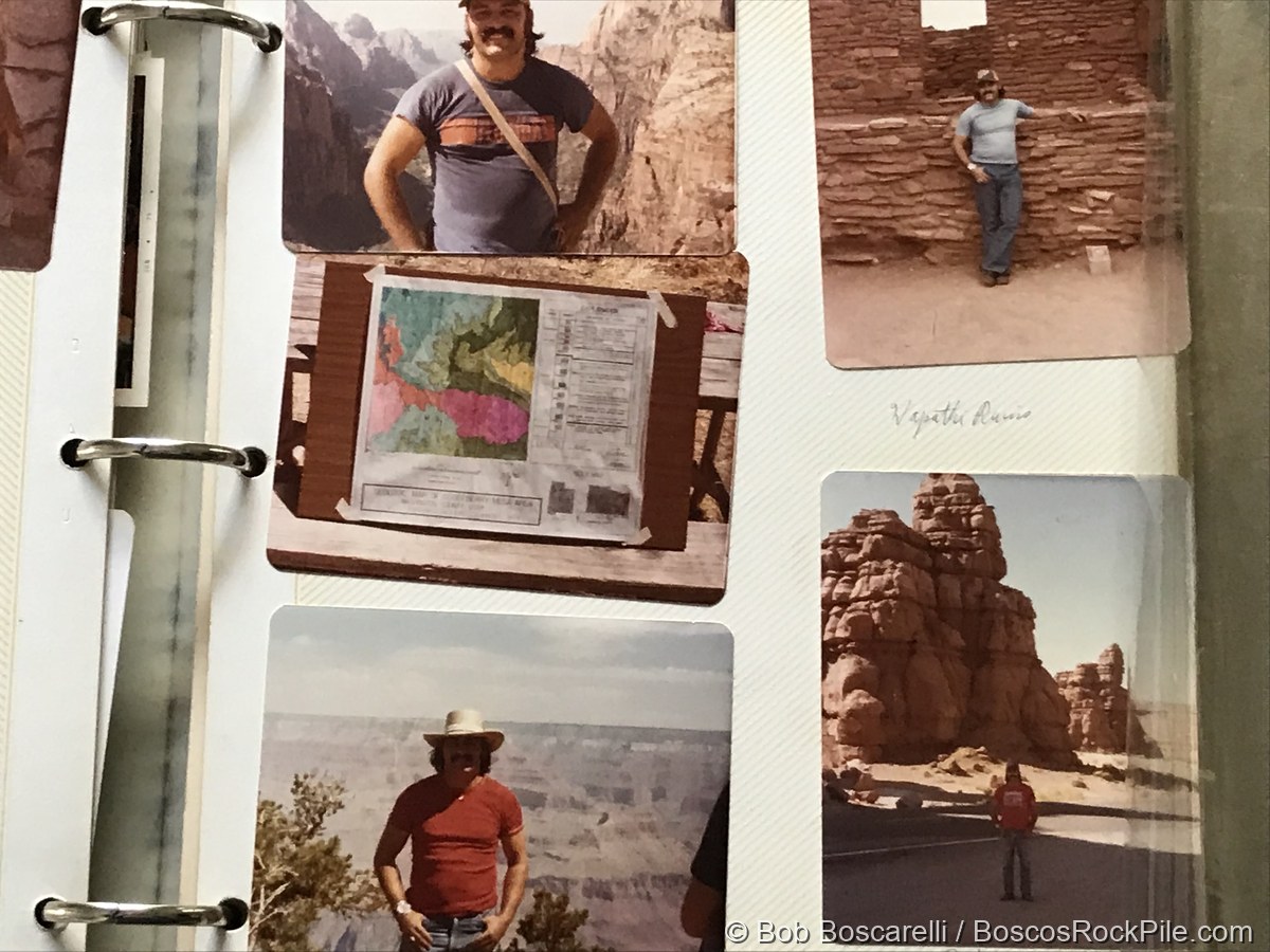
Wupatki, Arizona
Based near Flagstaff and Sunset Crater in late June, the camp visited the Wupatki pueblos — Ancestral Puebloan stone dwellings built atop the red Moenkopi beds the notebook tracks across the Plateau.
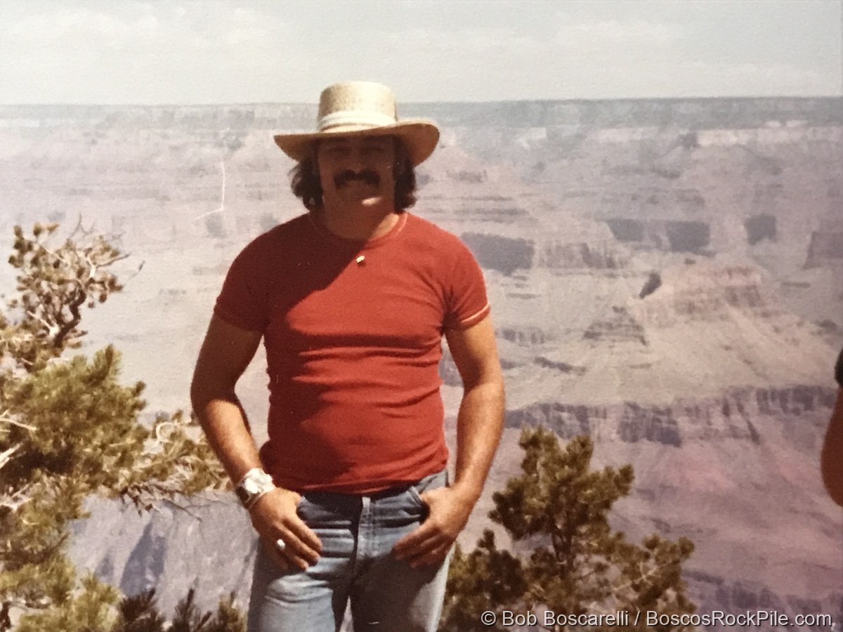
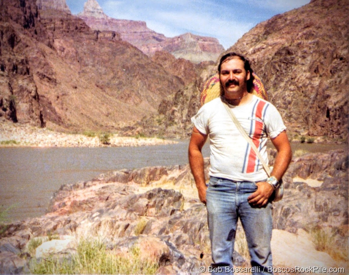
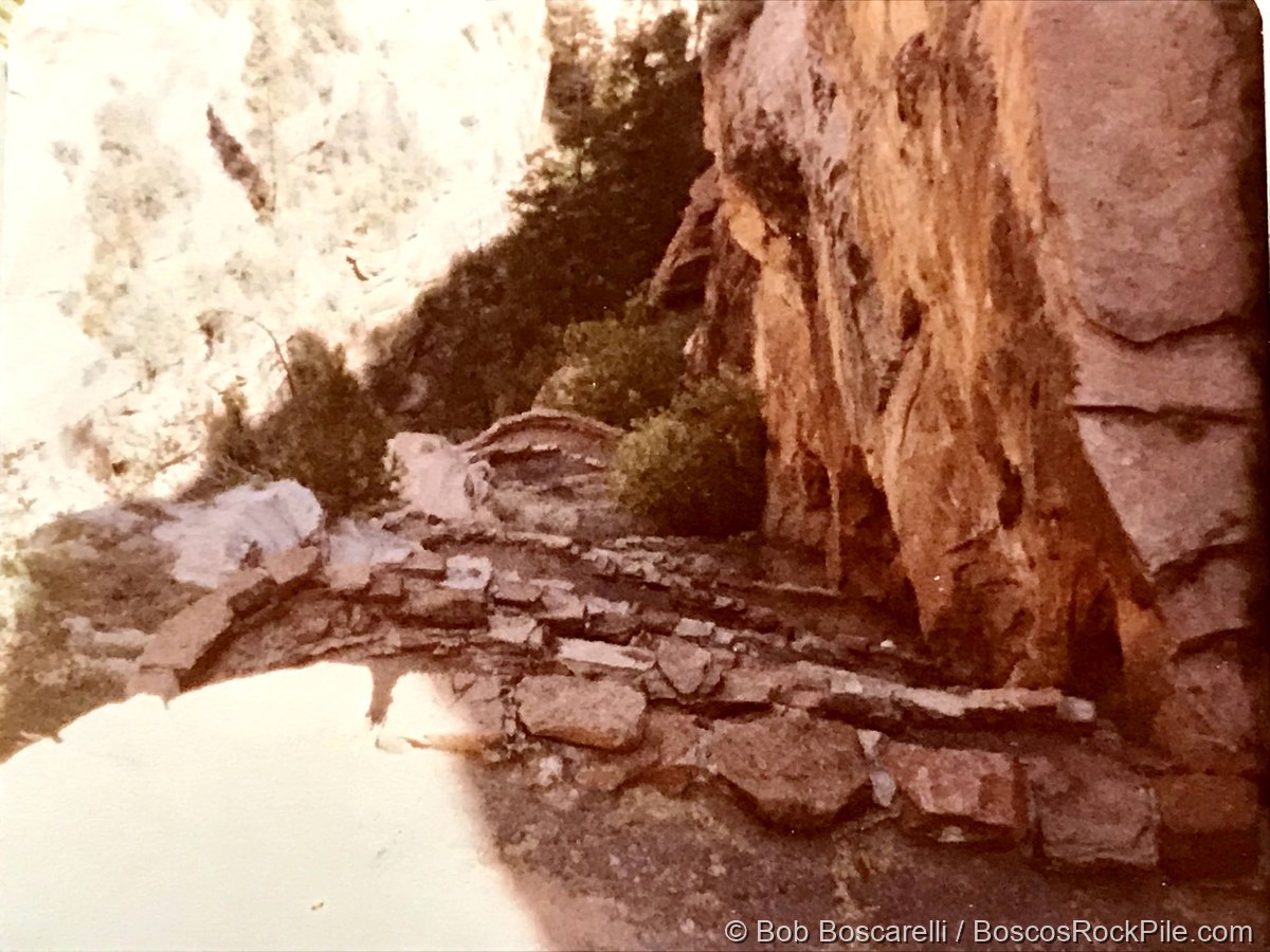
Grand Canyon
On July 1 the class hiked down the Bright Angel Trail — 7.8 miles and a 5,000-foot descent to the Colorado River, camping at Indian Gardens — then climbed back out for free days on the rim.
“Caprock at Grand Canyon — unconformity. Moenkopi — early Triassic flood plain; chocolate-colored shale, sandstone, silt. Chinle — deltaic; sandstone, shale, silt, lake limestone.”
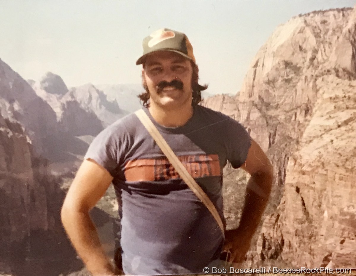
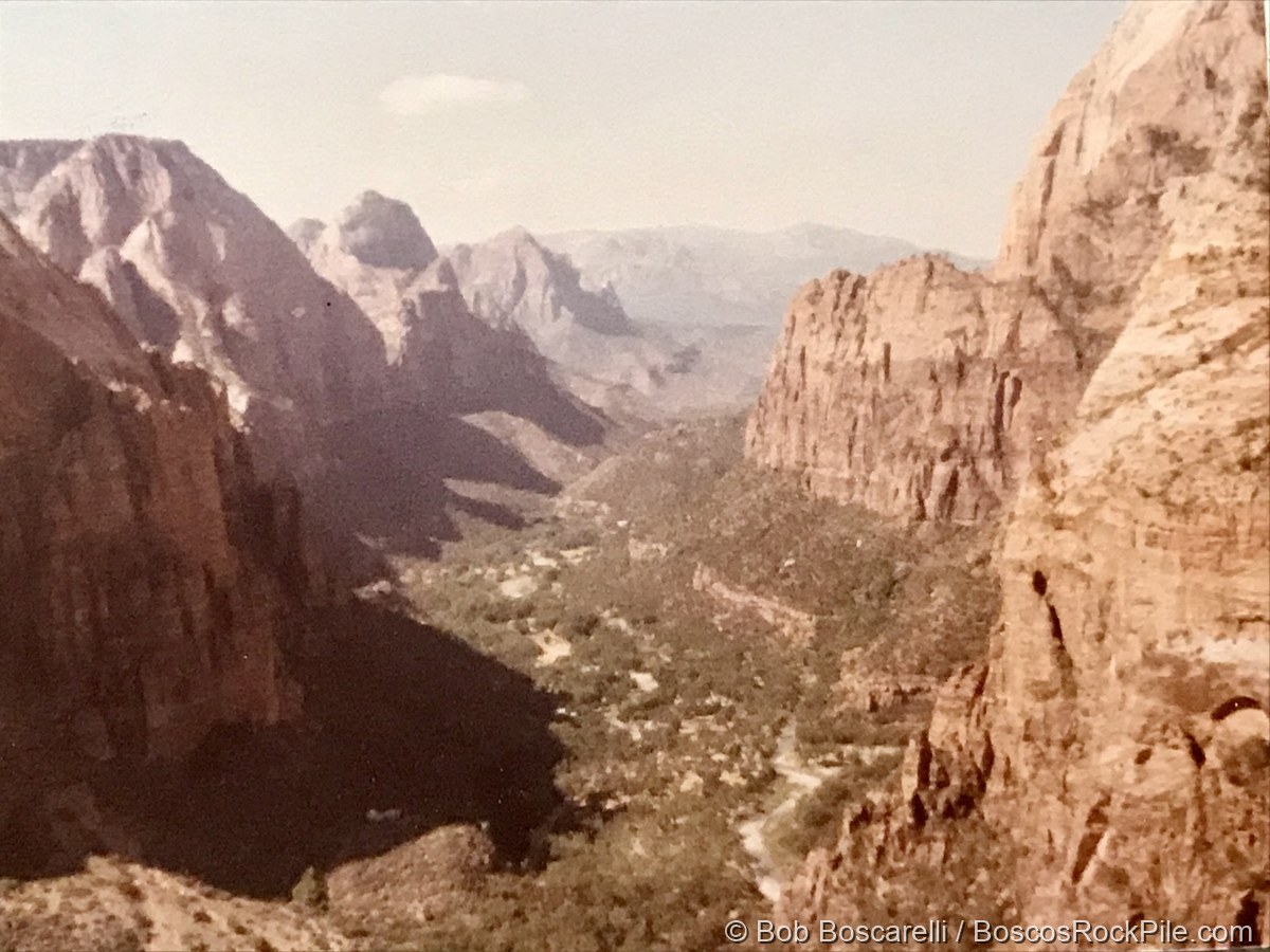
Zion & Angels Landing — the mapping camp
Zion was the heart of the trip: nearly three weeks based at Watchman Campground (July 4–22), running geologic mapping exercises with aerial photos and plane-table and alidade — the fieldwork that produced the map below. A day trip ran up to Bryce Canyon and the High Plateaus.
“Lower and upper red members at Zion — mudstone, siltstone, gypsiferous; a light band between two dark bands… Navajo above.”
Camped here at the Watchman, Bosco wrote a song — words and music — “The Watchman.” ♪ Listen to the instrumental on Apple Music.
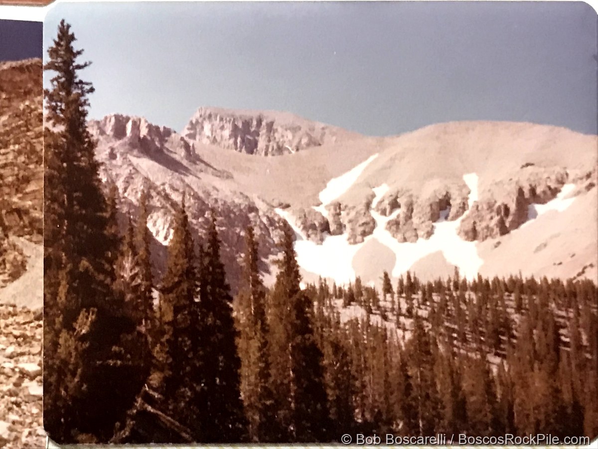
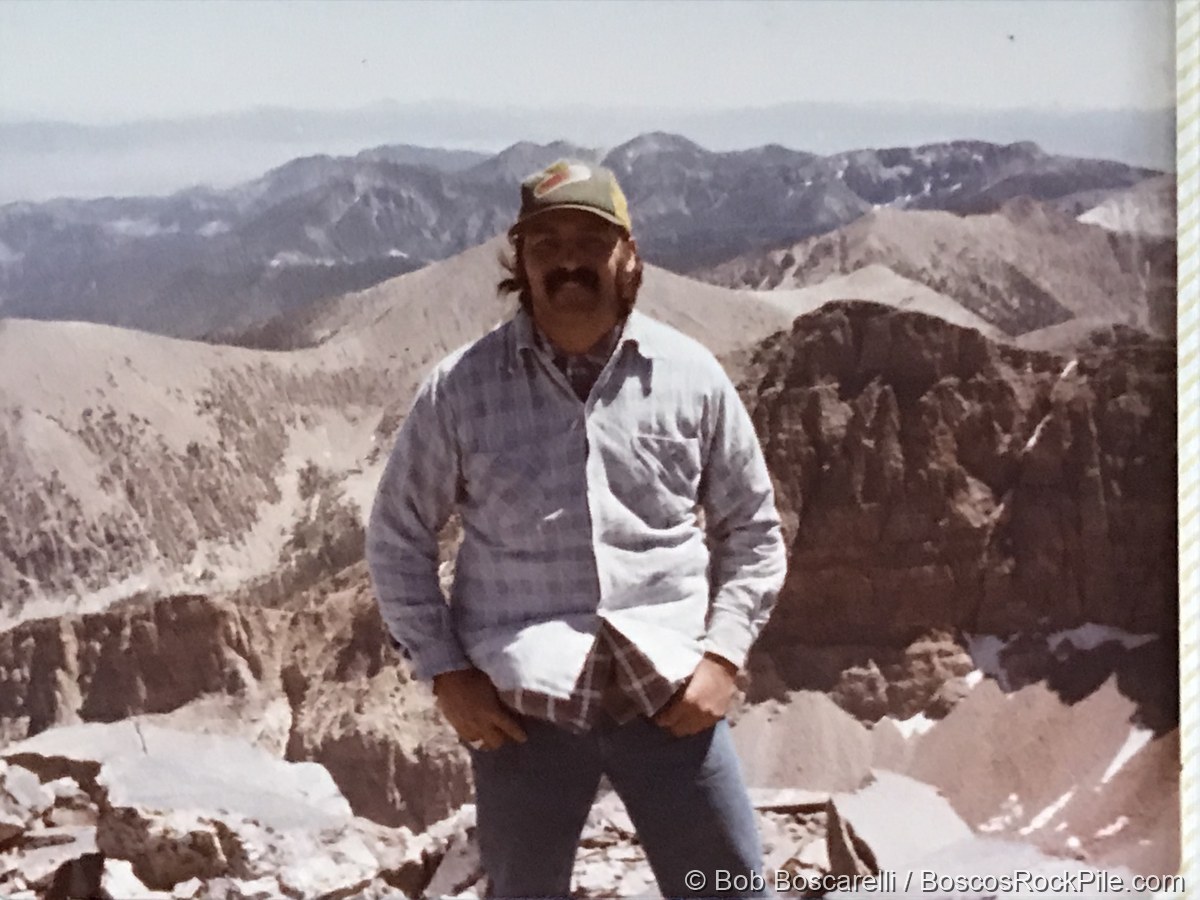
Wheeler Peak & the Great Basin (Nevada)
Late July crossed into Nevada — camping at 10,000 feet below Wheeler Peak, touring Lehman Caves and the Snake Range, and the Robinson–Ruth copper mining district.
“Wheeler Peak is a horn. Paternoster — a string of lakes in the valley of a glacier, ‘rosary beads.’… Bristlecone pines — oldest living thing; many over 5,000 years old, on high windswept slopes.”
The long way home
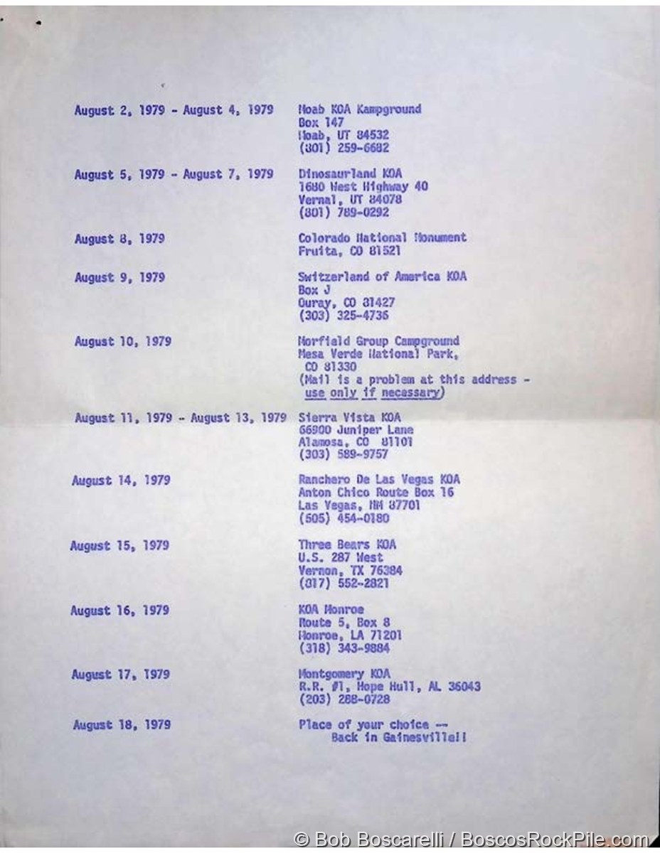
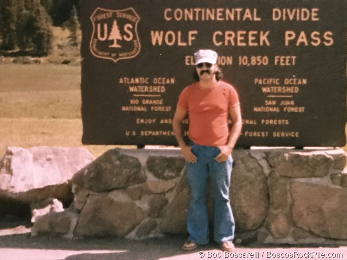
The return was three more weeks of geology, worked eastward through August: Capitol Reef, the hoodoo “goblins” of Goblin Valley, Moab, the Dinosaurland country at Vernal, Colorado National Monument, Ouray, Mesa Verde, and over the Continental Divide at Wolf Creek Pass — with stops in the Sangre de Cristo Mountains and the Rio Grande Gorge before the long drive back to Gainesville.
The map
A field camp isn’t only looking — it’s mapping. Out of the three weeks of mapping exercises came Bosco’s own geologic map of Gooseberry Mesa area, Washington County, Utah: contacts walked out, rock units traced, and structure interpreted by hand.
The van pulled back into Gainesville on August 18, 1979. This field camp was part of the geology training that set Bosco on the path to a life in earth science and paleontology — the same eye for layered rock and deep time that would later take him to the dinosaur beds of Wyoming.