
Recorded in Soquel · Regional earthquake
M3.6 earthquake near The Geysers, CA, March 8, 2026, recorded in Soquel
214 km (133 miles) from the Soquel seismic station — confirmed against the USGS catalog.
| Magnitude (USGS) | M3.6 |
|---|---|
| Location (USGS) | 6 km WNW of The Geysers, CA |
| Origin time | March 8, 2026 at 3:31 AM PDT 2026-03-08 10:31:07 UTC |
| Distance from Soquel | 214 km · 133 miles |
| Peak ground motion at Soquel | 404 counts (raw amplitude — how hard the ground moved here, not the earthquake's size) |
| Station | EQ-1 short-period seismograph, Soquel, Santa Cruz County, California — about six miles from the 1989 Loma Prieta epicenter |
| Verify | USGS catalog, ±10 minutes around this origin |
What this page is. The station's automated detector flagged a burst of ground motion at this time, and matching it against the USGS ANSS catalog identified it as this earthquake. Magnitude and location are USGS's — a single home station cannot compute them. The one thing measured here is how hard the ground in Soquel moved.
Station recording · the helicorder that day
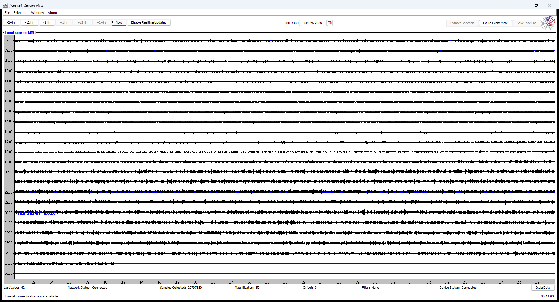
The live helicorder — what the ground is doing right now
This is the same instrument, live. The 24-hour trace below shows current ground motion in Soquel, refreshed every five minutes. March 8, 2026 has scrolled off this window; the recording of that day lives in the station catalog.
Live Helicorder · Seismic Activity ● Live · updates every 5 min
USGS Catalog · Recent Earthquakes loading…
| Mag | When | Where | From station |
|---|